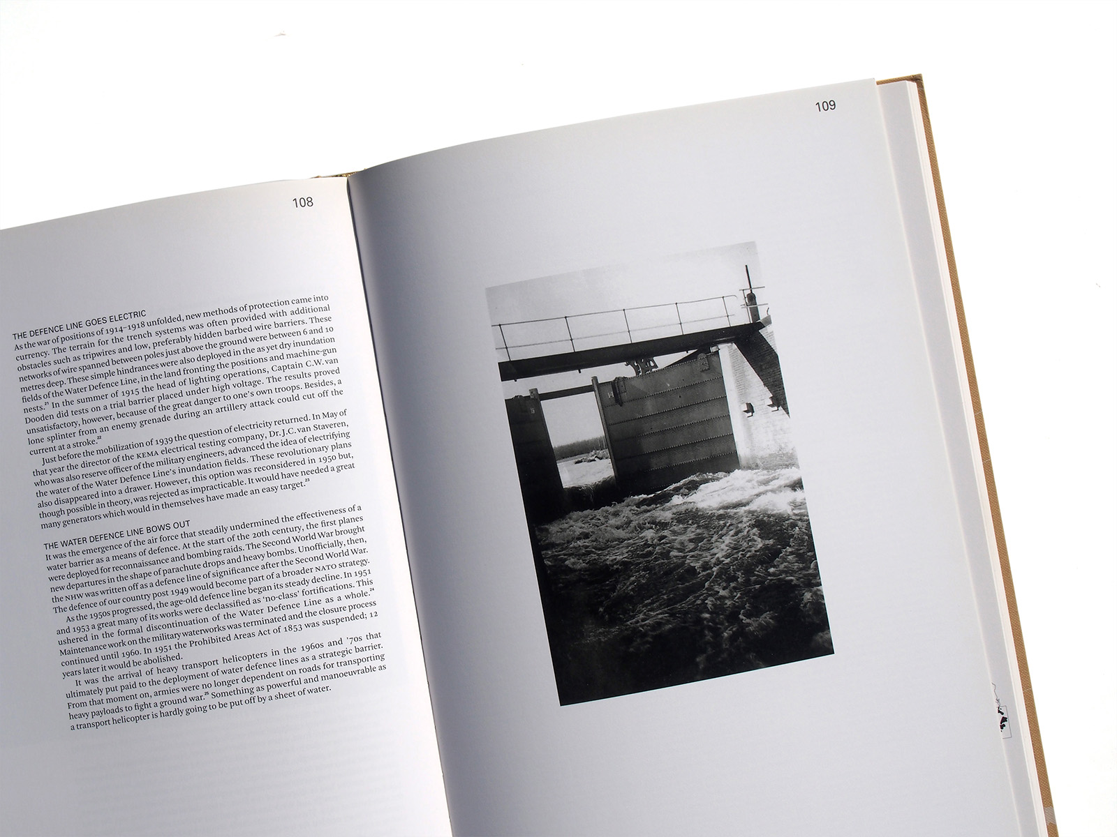


Publisher: 010
Language: English
ISBN-10: 9064507120
ISBN-13: 978-9064507120
Product Dimensions: 24.6 x 2.7 x 34.4 cm
Release Date: 2009
Price: sold
Design: Studio Joost Grootens
Yellow Pencil D&AD Awards 2010
Bronze European Design Awards 2010


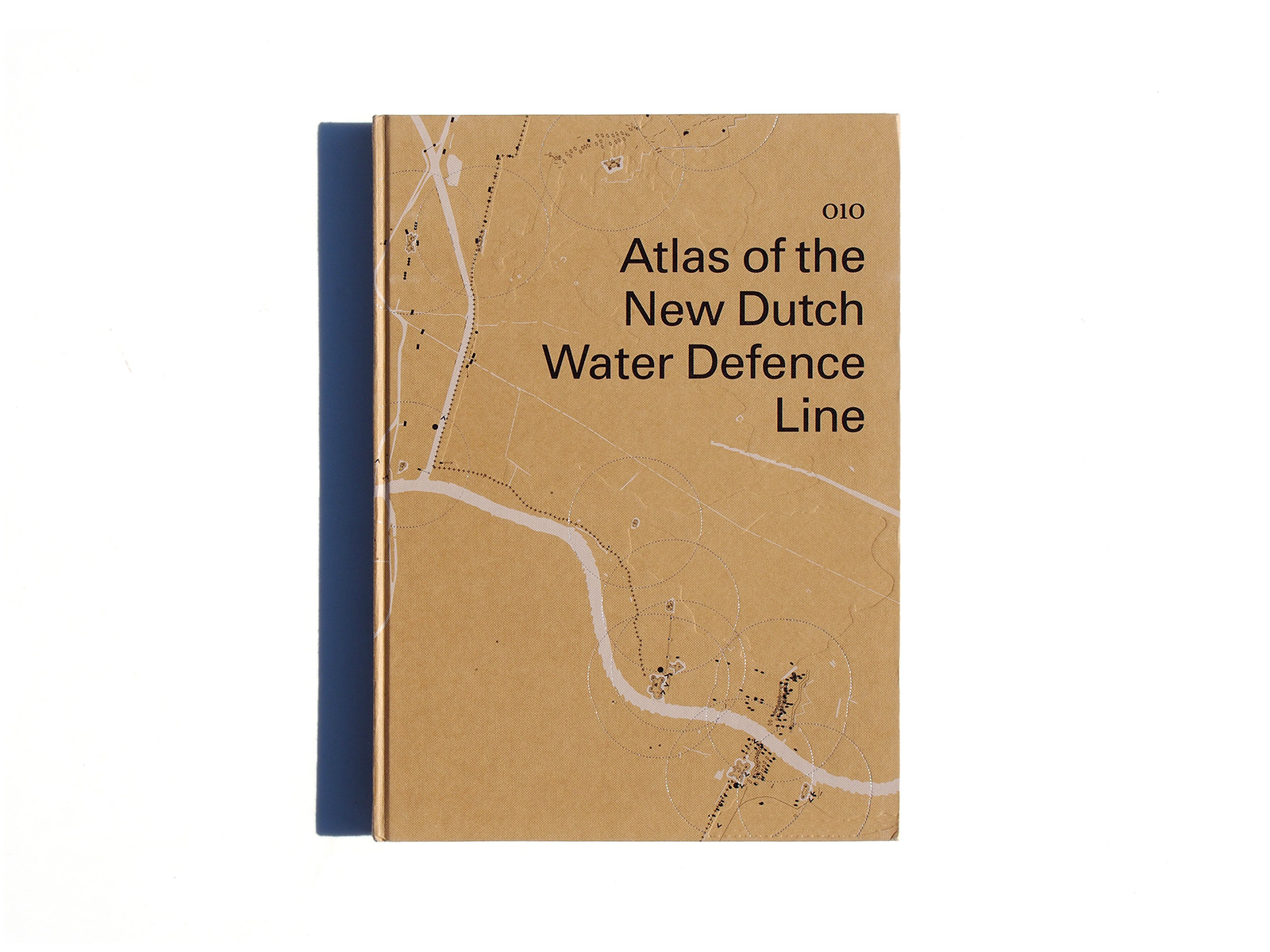
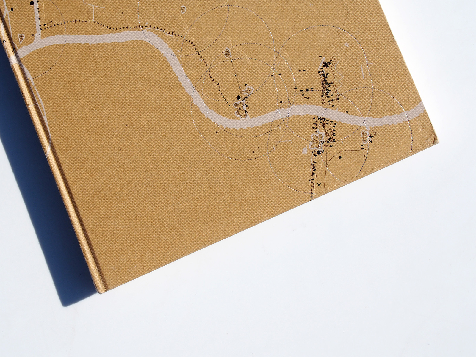
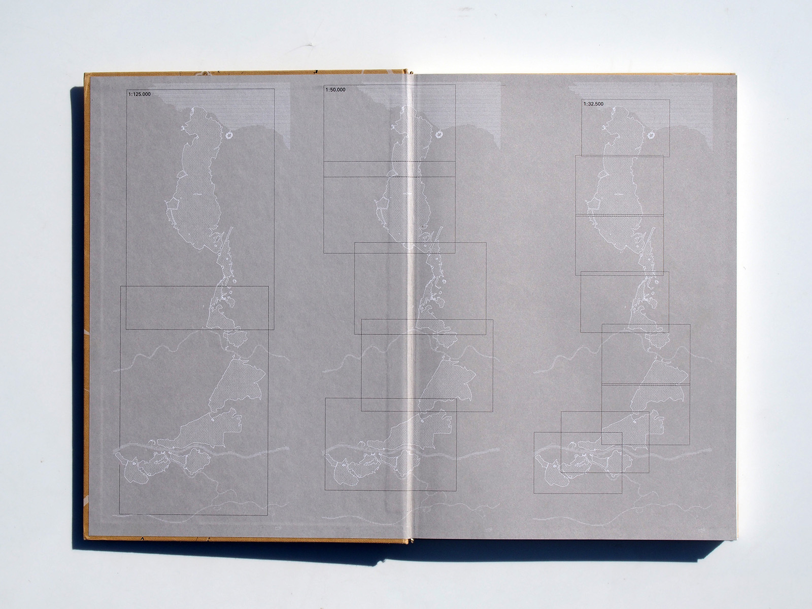
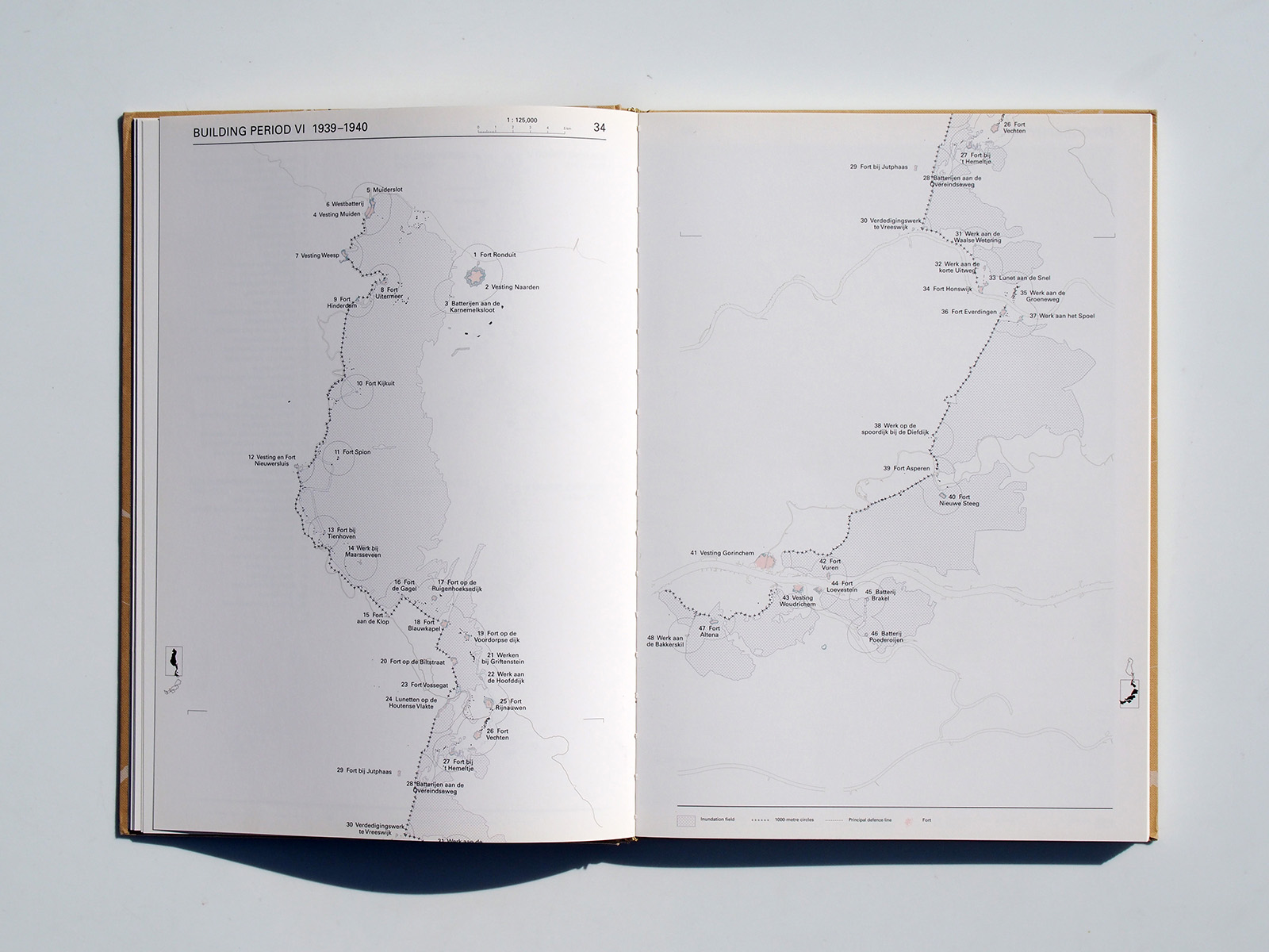
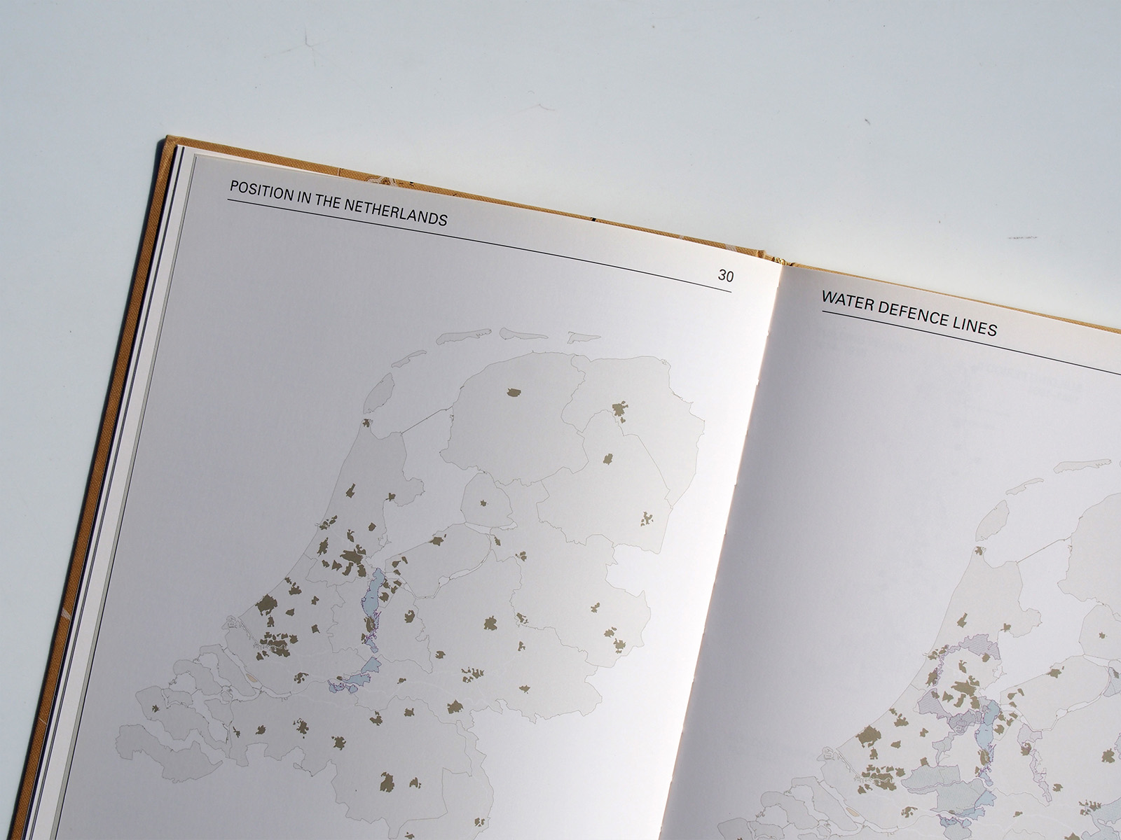
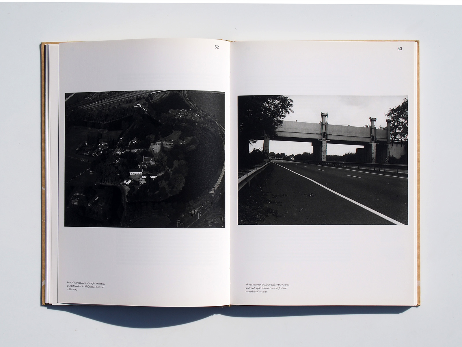
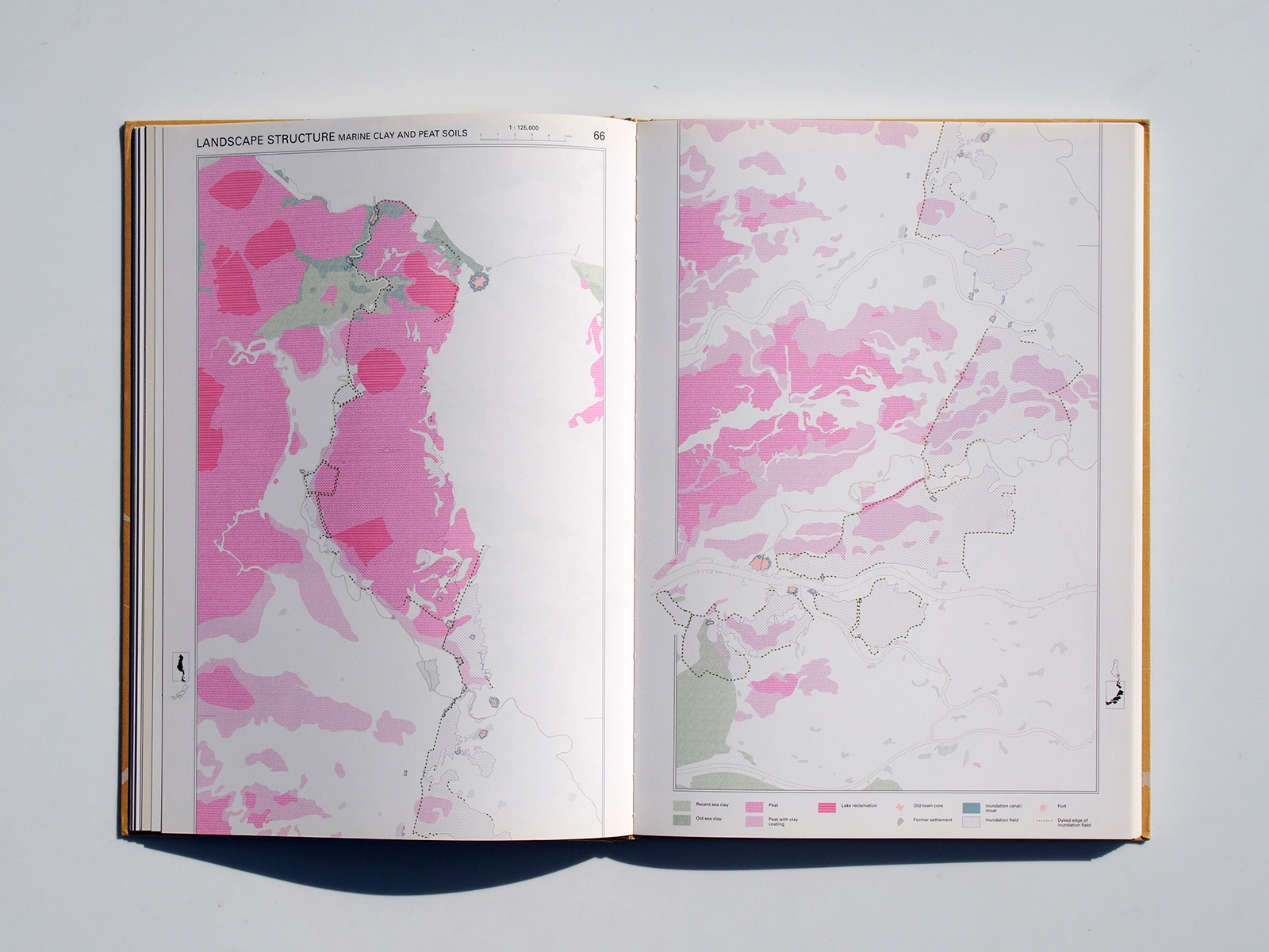
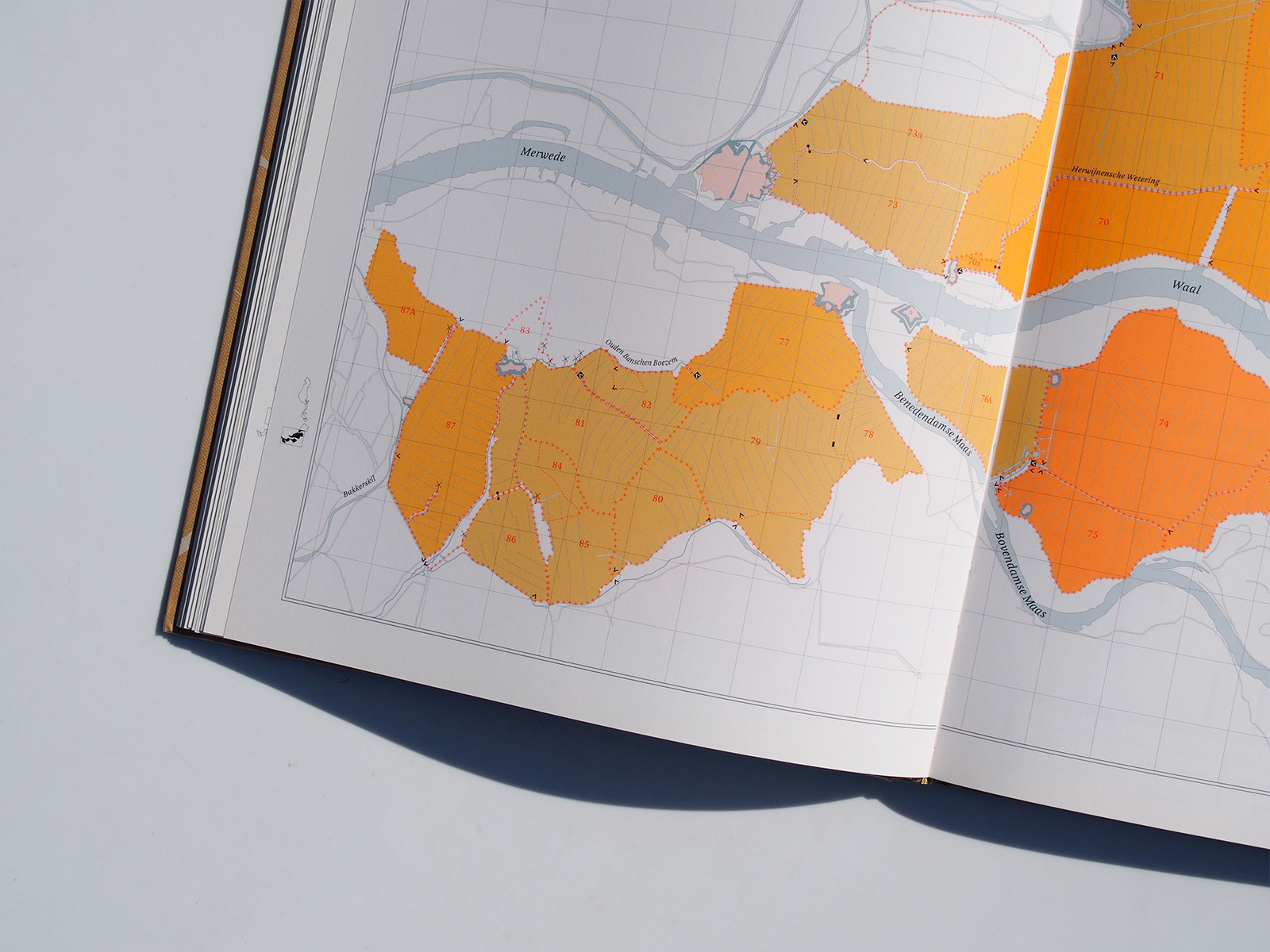
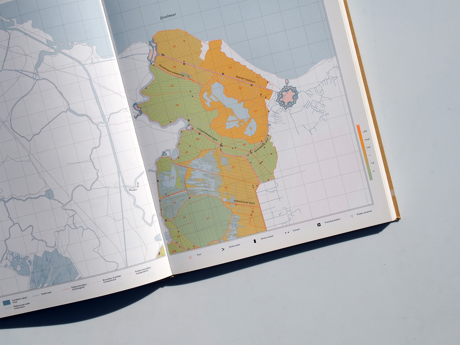
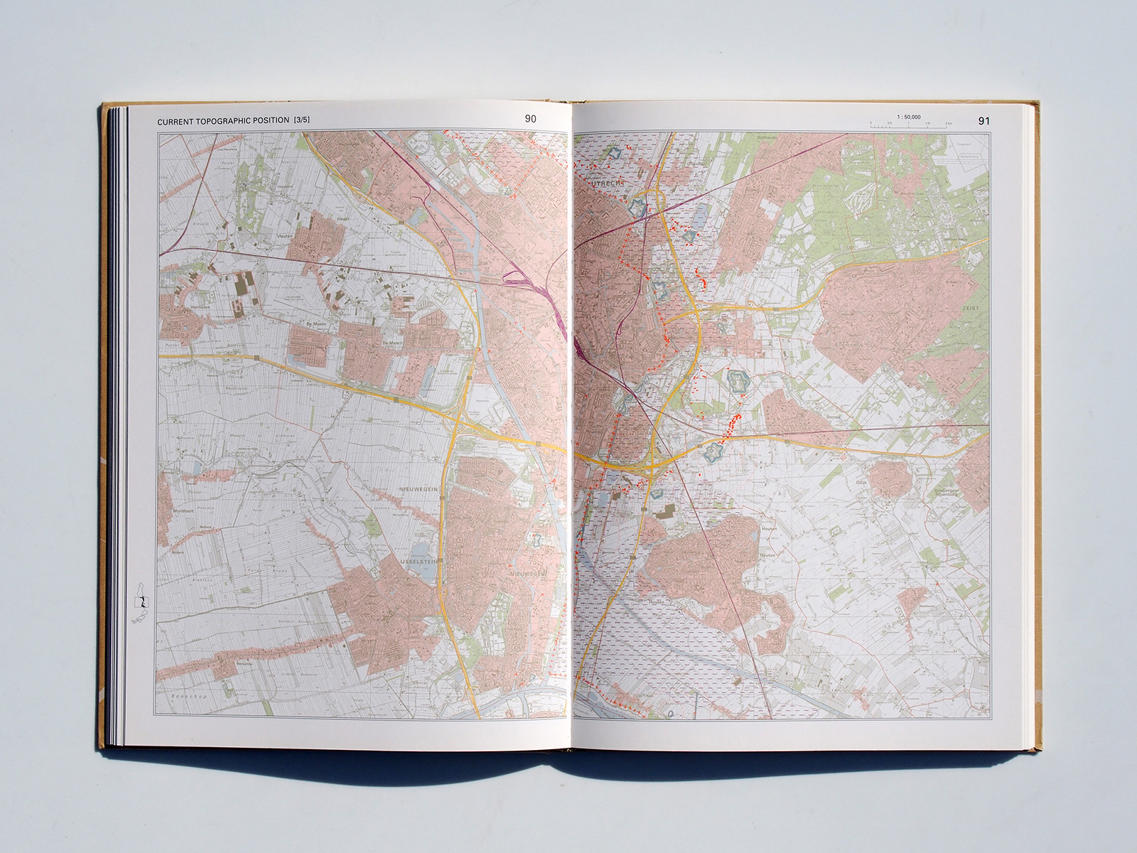
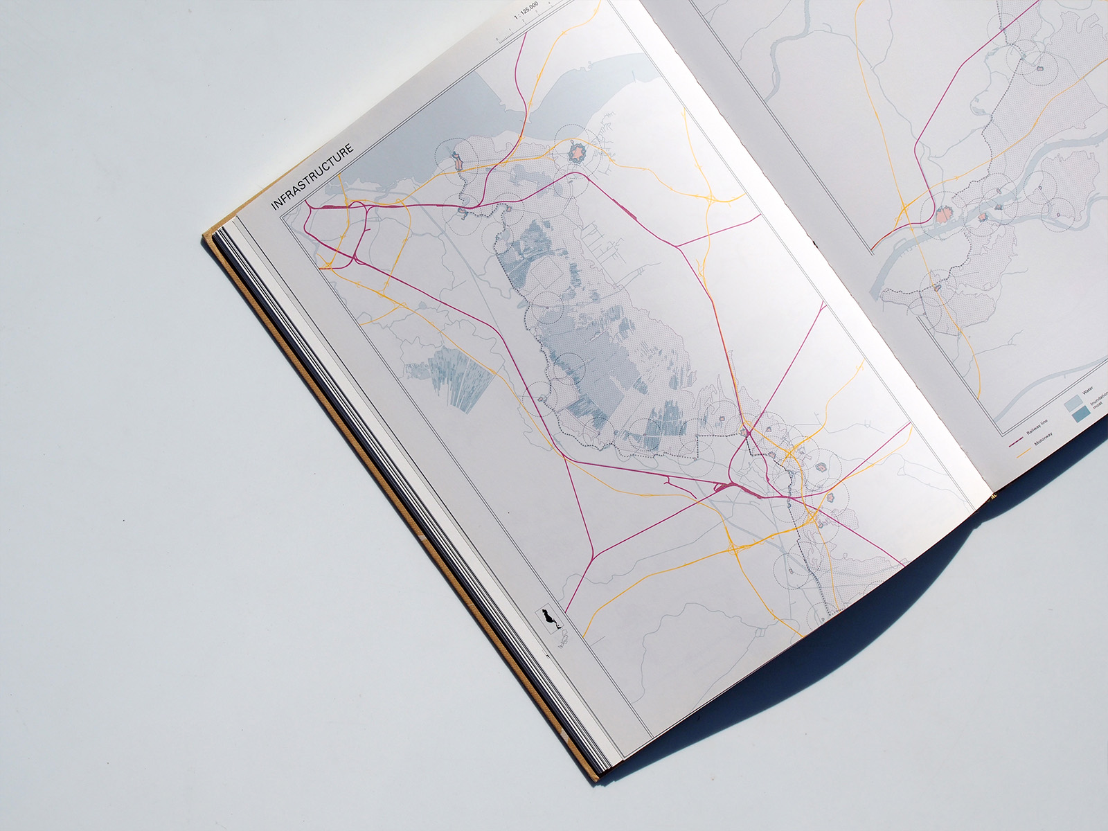
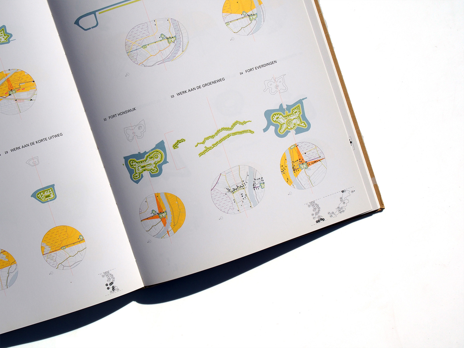
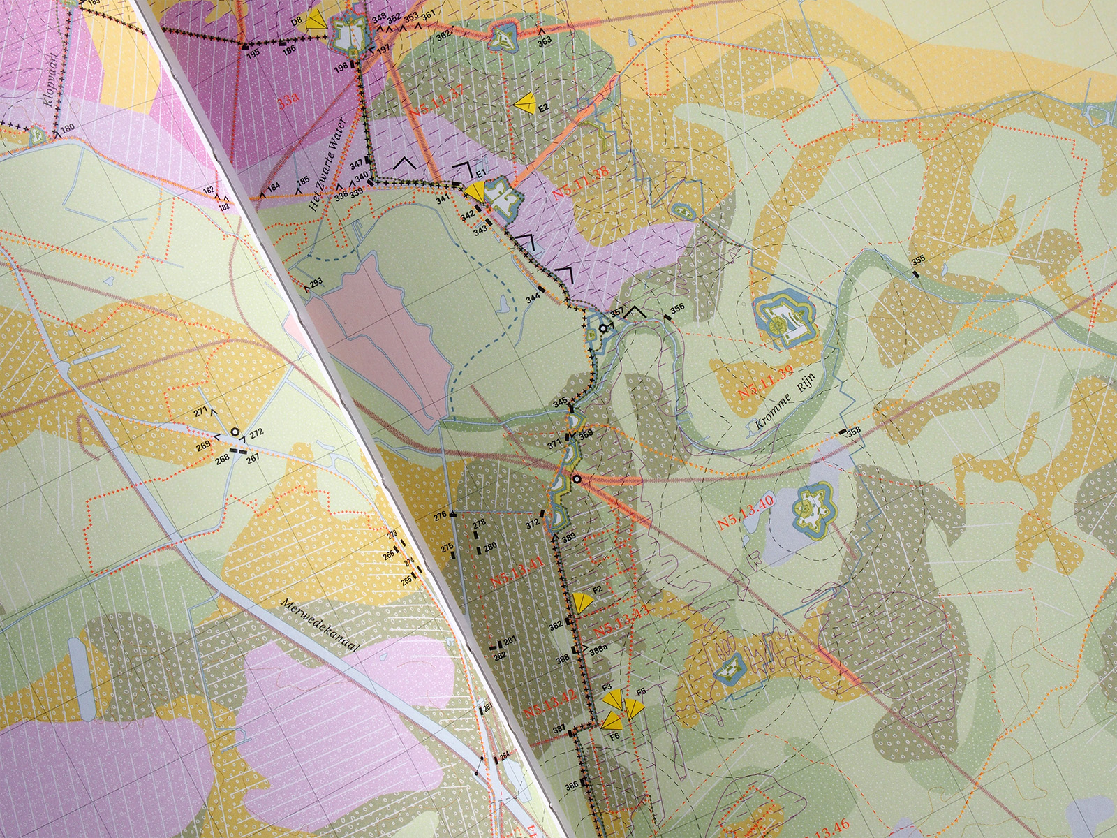
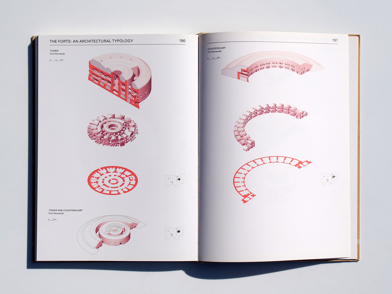
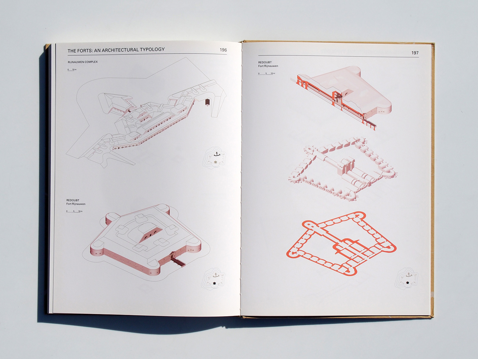
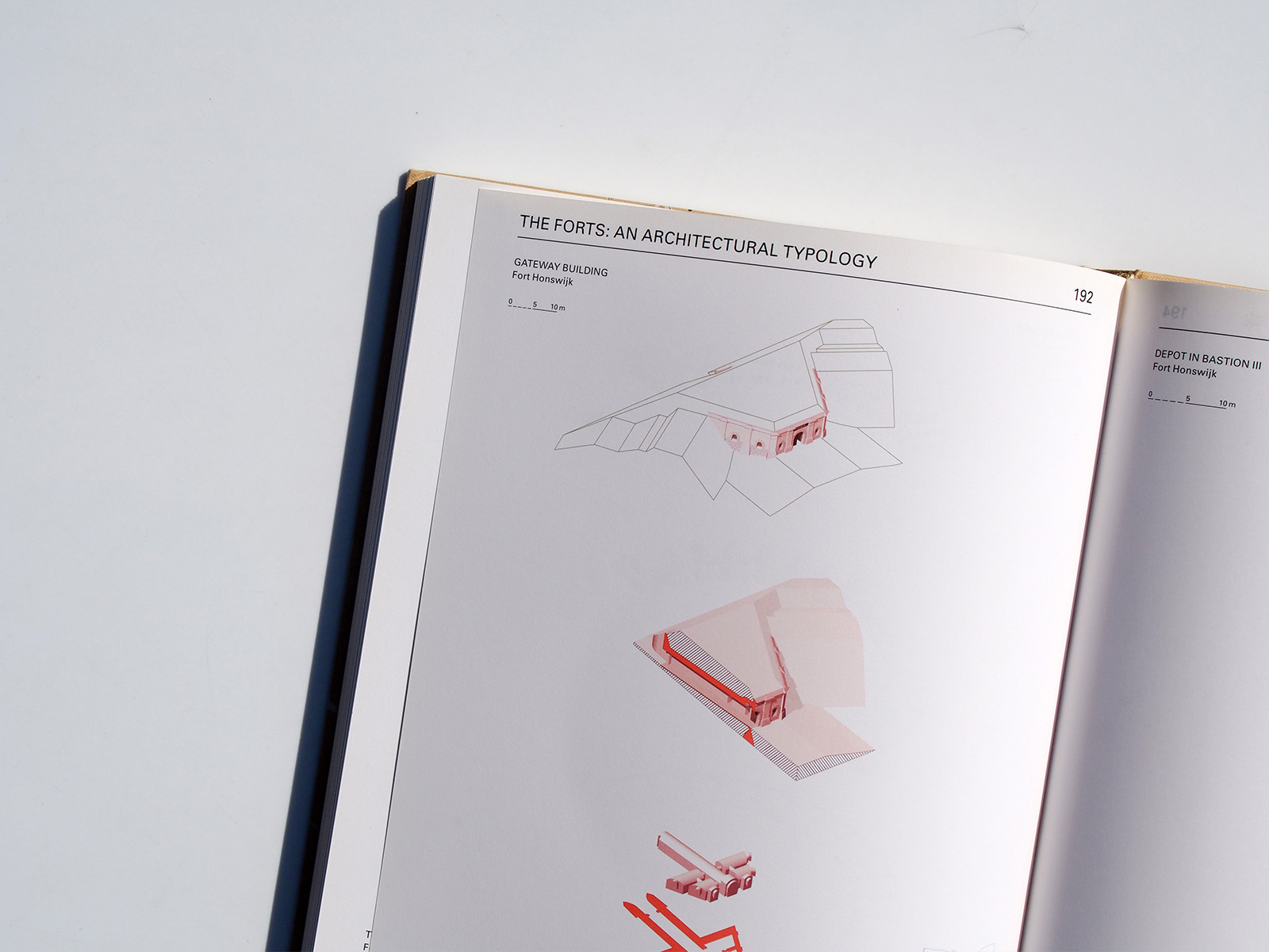
This atlas addresses the New Dutch Water Defence Line (Nieuwe Hollandse Waterlinie) on a themed basis. Its position in the landscape, the forts, the inundation system, the geomorphology, the strategic system and recent developments can be read off in maps rendered so as to give an understanding of all aspects of the defence line landscape. The defence line reveals itself as a many-tentacled military defensive system of forts, group shelters and polders which can be flooded at the threat of war. The maps show the cohesion of the defence line as a landscape-strategic structure as well as the topographic composition of this structure in layers and components. The more detailed maps of the forts display the wealth of historic places, insertions in the landscape and defining elements. The atlas offers administrators something to lean on and designers a sense of freedom – a solid stepping-off point for getting this unique national landscape literally back on the map. Essays place the New Dutch Water Defence Line in a historical perspective. The atlas was commissioned by The Netherlands Architecture Fund and the Nieuwe Hollandse Waterlinie Project Office.